In the end, we will conserve only what we love; we will love only what we understand and we will understand only what we have been taught.

- Baba Dioum, Senegalese Conservationist
Who is CINDAQ & What do we do?
El Centro Investigador del Sistema Acuífero de Quintana Roo A.C. (CINDAQ) facilitates research, promotes education and supports the conservation of the natural and cultural resources associated with the cenotes and underground rivers of Quintana Roo, Mexico.
Our vision is for the establishment of a regional model of sustainable tourism and development that serves as an example for other similar areas.
- Diving with a purpose
- The foundation of our work
- One of the last frontiers for human exploration on Earth
- Archaeology, Paleontology, Biological and Earth Sciences
- Photogrammetry, Cartography, Sampling, Remote Sensing, IOT
- Major partnerships: UNESCO, INAH-SAS, CONANP, UNAM, UCSD
- Documentaries, Print media, Online content, Teaching material, Public speaking
- Underwater and surface photography/video, Drone imagery, Sound engineering
- Major collaborations: BBC NHU, National Geographic, NHK, New York Times
Latest projects
A foundation for scientific work to help understand & protect the aquifer of Quintana Roo, Mexico
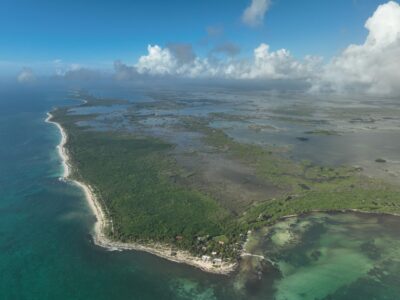
CINDAQ flew to Punta Pájaros and the Bahía de Ascensión to investigate the presence of caves and the potential for their exploration...
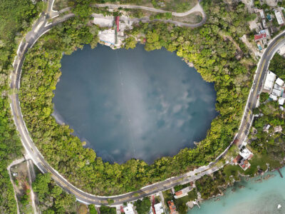
From May 1-5, 2023, CINDAQ assisted Dr. Luisa Falcón (Senior Researcher of Bacterial Ecology, Institute of Ecology, UNAM, Mérida) in her ongoing studies of...
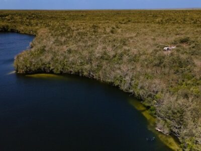
On March 23, 2022, members of the Centro Investigador del Sistema Acuífero de Quintana Roo AC (CINDAQ), flew by helicopter from Puerto Morelos to the Sian Ka’an...
About us
Our primary dive team has more than 70 years of combined experience exploring, mapping and studying the underground rivers of this area. We have performed over 15,000 dives which translates into tens of thousands of hours of valuable experience and lessons learned both above and below the water. Our goal is to use our expertise to further the knowledge of the extent of these caves. We do this by incorporating current technology to aid us in locating, mapping and documenting the caves. With the information that we are able to generate we can help direct and coordinate scientific study of the aquifer and in turn use that information to educate the public at large.
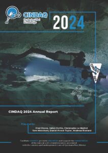
Latest Annual Report

CINDAQ’s 2024 report highlights achievements in aquifer research, cave documentation, exploration and data management. Our work included projects in the Sian Ka’an Biosphere Reserve, the Ox Bel Ha cave system and many more locations.


